
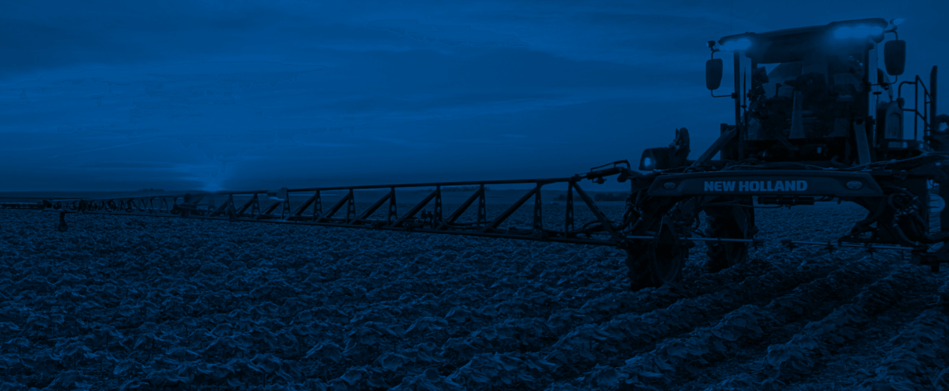
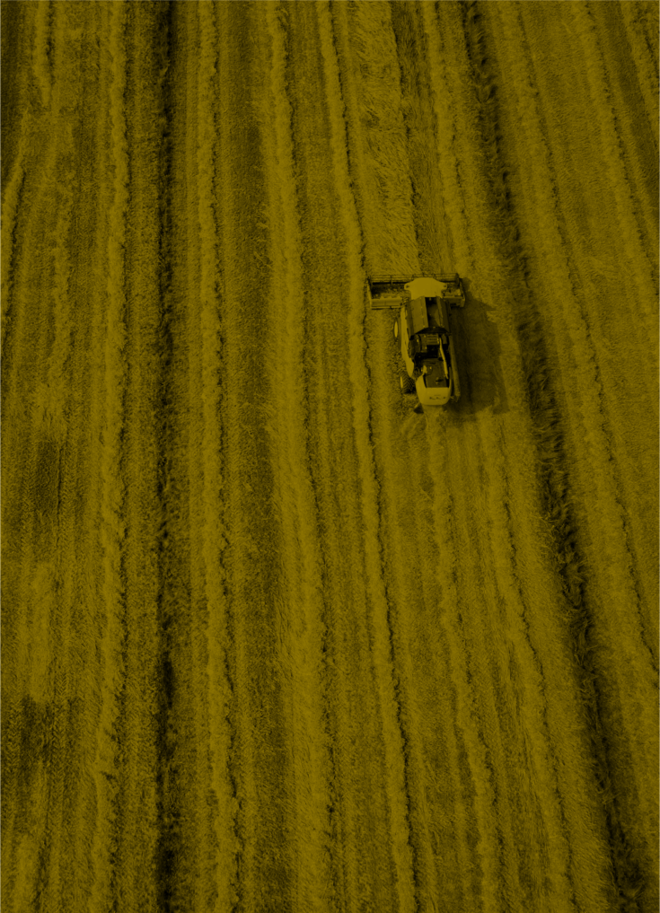
Technology
Leaders in Precision Tech
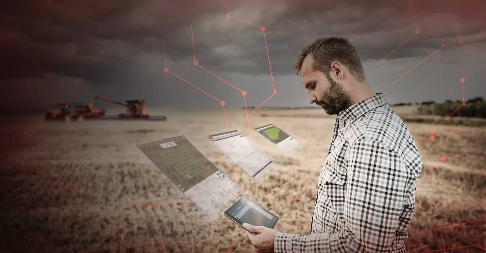
Made to meet your demands: Mazergroup offers precision technology that is intuitive, scalable and built for the unique needs of your operation.
Simplify your work in the cab with intuitive, user-friendly display interfaces. Experience unmatched precision with industry-leading solutions for guidance and steering, application control, field data recording and more. And get the most out of your data with real-time information sharing and valuable analysis and management tools.
With precision solutions from Mazergroup, you can save time, maximize performance, boost your bottom line – and position your business for success well into the future.
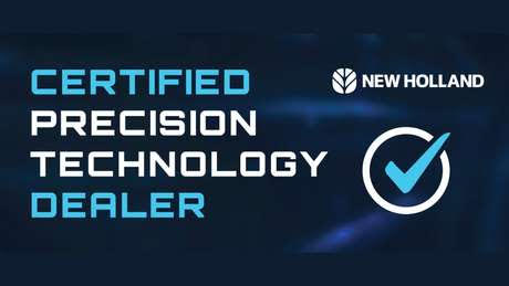
Mazergroup is Precision Technology Certified – offering the highest quality support.
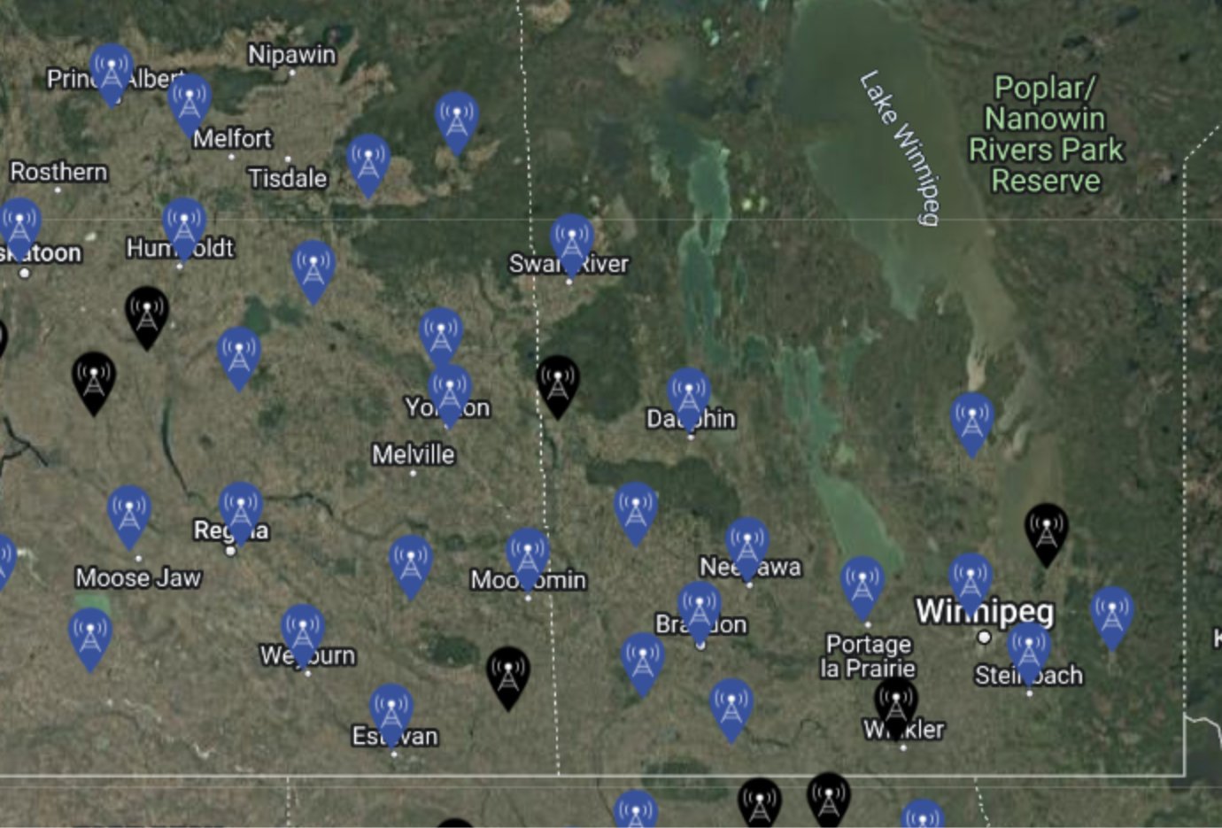
Correction Signals
New Holland and Trimble Correction Signals
Raven Correction Signals
Water Management Solutions
WM-Drain, Field Level II, Laser Solutions


Data Management
-
CNH field ops
New Holland FieldOps™
FieldOps is New Holland's all-in-one farm data management mobile and web app.
It houses all your machine health and agronomic data in one place, giving you one easy-to-use platform for all your machines and fields. Monitor your entire operation in real-time, maximizing every minute to be more efficient.
-
Raven Slingshot
Slingshot® Connectivity & Logistics
Raven Slingshot® is the preferred data management and logistics solution for agriculture operators across the world. Slingshot's holistic suite of operations management software and tools syncs your agricultural operations across machines, offices, and devices. With its connectivity and logistics features, Slingshot will improve your ability to make informed decisions, reduce redundancies, avoid misapplications, and provide visibility across your entire fleet, fields, and jobs.
-
CNH Intellifield
Connectivity
TELEMATICS & CONNECTIVITY SOLUTIONS
New Holland precision technology keeps you connected to optimize productivity.
-
Raven Augmenta
Unlock a New Level of Input Application Precision
Each field has its own fertilizer, crop protection, growth aid and weed control needs that need to be met in order for the crop to emerge evenly. With the Augmenta® field analyzer, you can apply fertilizer, desiccants, defoliants (harvest aids), plant growth regulators (PGR), fungicides or herbicides (burndown) to meet each section's unique demands while improving your input savings - maximizing profit. The camera vision-based technology perceives, analyzes, and applies based on what it sees, providing high-definition field analysis and environmentally sustainable results.
Discover the Power of
Prairie Proven
In the prairies, reliability is essential. Mazergroup offers Prairie Proven equipment and services, designed to endure the toughest conditions. We're not just providers; we're your committed allies, offering expert support and emergency repairs when you need them most.
Mazergroup: Forged in the prairies, ready for the extremes, and dedicated to your success.